CuriosiD: What’s the highest point in Detroit?
Koby Levin February 8, 2024In this episode of CuriosiD, join Outlier Media’s Koby Levin as he delves into the city’s unique pursuit of peaks.
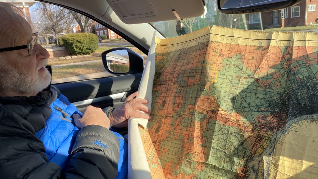
Retired geologist Mike Wilczynski joined Outlier Media's senior science reporter, Koby Levin, on his search for Detroit's true highest point.
WDET’s CuriosiD series answers your questions about everything Detroit. Subscribe to CuriosiD on Apple Podcasts, Spotify, NPR.org or wherever you get your podcasts.
In this episode of CuriosiD, we answer the question:
“What’s the highest point in Detroit?”
The city that brought you the tune “Ain’t No Mountain High Enough” barely has hills, but it’s not quite as flat as you think. While Detroit may be vertically challenged, it does have a highest point, and in this episode — in collaboration with Outlier Media — we set out to find out where it is.
WDET listener Scott Barnett became curious about Detroit’s highest point after reading an article that alleged the city’s peak was the same hill that he’d pass on his way to school every day growing up. To get to the bottom of the true location of Detroit’s summit, Barnett posed the question to CuriosiD.
The short answer
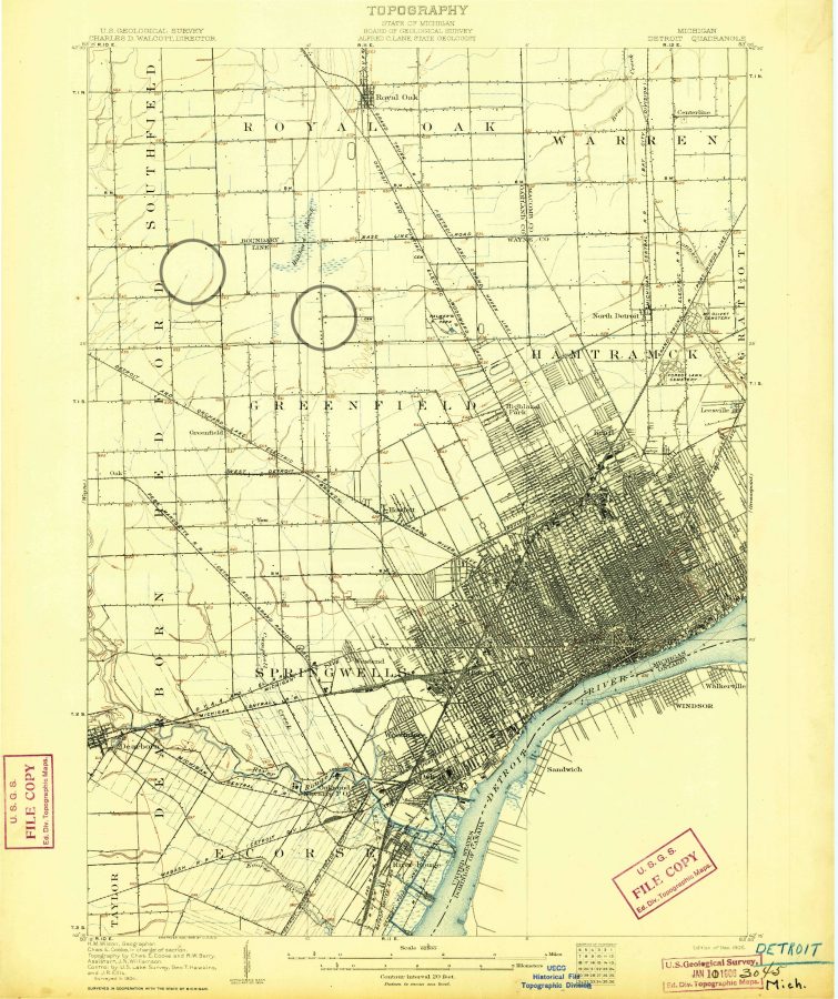
We identified two spots that can claim to be the city’s highest points, both of them in northwest Detroit near M-10 (Lodge Freeway). One is near 8 Mile Road, and one is near McNichols Road.
An incongruous childhood hill
The hill in Barnett’s childhood neighborhood stuck out so much from its surroundings. It’s the reason why Barnett, a math instructor at Henry Ford College, started thinking about the highest point in the city.
Barnett’s mom drove him to school every day, always by the same route. He still remembers the turns and the main landmark — an incongruous hill on Curtis Street.
Years later, Barnett came across an article that claimed the hill on Curtis Street was the highest point in Detroit. This was big neighborhood news. He told his childhood friends about it.
But the article was wrong — we think.
A retired teacher obsessed with high points
The search for Detroit’s highest natural point led us to a retired high school teacher from Missouri named Dennis Stewart.
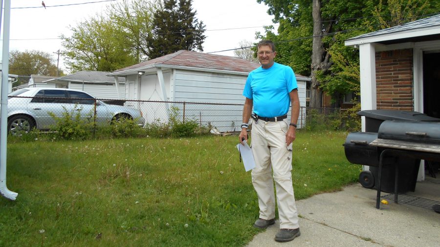
Stewart is kind of a big name in elevation. He once summited the high points of the 48 contiguous states in a single month, which was recognized by the Guinness World Records at the time.
In 2017, he was driving through Detroit and decided to check out the local high point. Which is how he ended up on a skeptical Detroiter’s doorstep, trying to explain why he wanted a selfie in their backyard.
“I had to talk to him for a while so they could see I was legitimate,” Stewart said. “But after they felt comfortable with me… they let me go in their backyard and stand there and take my picture.”
Surprise beachfront property
Mike Wilczynski, a retired geologist, did some research on Detroit’s true high point and determined that there are at least two possible peak Detroit points close to the Lodge Freeway — one at 8 Mile Road, where Stewart ended up, and one at McNichols Road, not far from Barnett’s childhood neighborhood.
Wilczynski is not surprised that the high point is on the north side of the city. Toward the end of the last Ice Age, maybe 10,000 years ago, melting glaciers left behind a layer of rock and soil in the northern half of Detroit. The city may look flat, but it’s on a slight slope, rising almost 100 feet between the river and 8 Mile.
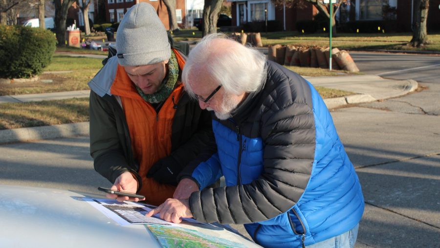
Wilczynski and I agree to find the real Detroit high point for ourselves. He promises to bring some equipment to take measurements.
Turns out he means an iPhone app that doesn’t give very precise elevation measurements.
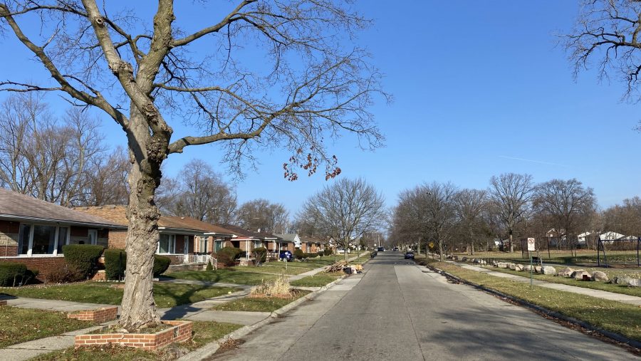
But as we approach the coordinates Stewart visited, we look down a normal Detroit street — neat brick bungalows, a park with a basketball court — and see what is undeniably a hill.
At the top, Wilczynski’s phone tells us we’re at about 675 feet above sea level — plus or minus 18 feet. We can see for blocks.
Wilczynski thinks this hill began as a beach.
Detroit was underwater about 14,000 years ago, he explains, Lake St. Clair and Lake Erie were one mega lake. Every time the water receded — exposing the future city — it left behind a shoreline, a ridge of sand and rock.
People living here may not realize it, but they’ve got beachfront property.
The neighbors aren’t impressed
As we stand there, a neighbor steps out onto his driveway. Wilczynski tries to flag him down, but he’s not inclined to chat, and he’s definitely not impressed with the news that he may live at the highest point in Detroit.
“Useless information,” he said. “It doesn’t put money in my pocket.”
It feels like we’re inching closer to the truth, but the quest continues. We hop back in the car to investigate the other high point.
The number to beat is 675 feet, plus or minus 18 feet. The new location is next to a school, and it’s much flatter, no hill in sight.
We’re in a quandary, Wilczynski said:
“How do you determine the highest spot in an area like Detroit where it’s relatively flat? You know, you’d have to… use much more accurate GPS.”
In other words, we can’t quite answer Barnett’s question. We think Detroit has at least two roughly equivalent high points, and we’re pretty sure that neither one is his childhood hill. But we’d need fancy technology to be absolutely sure.
Barnett says that’s alright with him.
“I still love Detroit,” he said. “And I’m happy to learn more about it. Apparently, my memory may not be correct about the significance of that one hill. That’s okay.”
Meet the Listener

Scott Barnett is a math instructor at Henry Ford College. He grew up in the Bagley neighborhood in northwest Detroit, where he noticed an unusual large mound on Curtis Street. “Everything around it is so flat, and yet you have this hill for no apparent reason,” he said.
Outlier Media Civic Life Reporter Laura Herberg contributed to this story.
We want to hear from you!
Have a question about Detroit you’d like the answer to? Let us know here or fill out the form below.
More from CuriosiD:
