Detroit’s winter outlook trends warmer and wetter
Pat Batcheller October 29, 2024The past two winters in southeast Michigan were among the 10 warmest since the U.S. government started keeping records for Detroit in 1874.

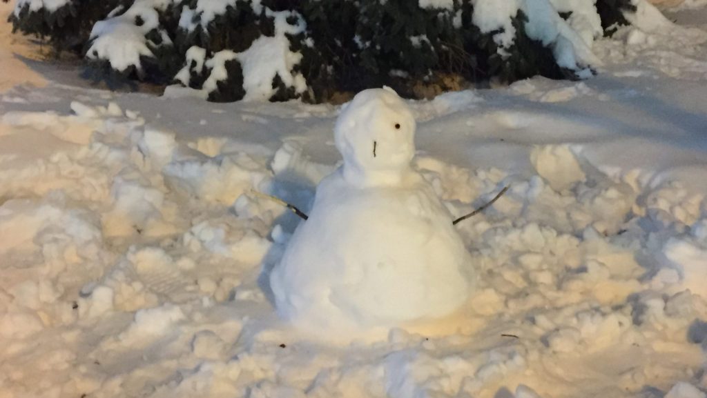
Do you want to build a snowman? It depends on how much we get.
The National Weather Service says this winter could be warmer and wetter than usual in southeast Michigan.
The agency recently issued its seasonal outlook for the region. It forecasts the chances of various weather scenarios based on 30-year averages.
The probabilities favor higher-than-normal temperatures and precipitation between Dec. 1, 2024, and Feb. 28, 2025.
Meteorologist Trent Frey says a phenomenon known as La Nina will affect our weather patterns.
“La Nina is when the Pacific Ocean waters near the equator are cooler than the long-term average,” Frey said. “It affects where the jet stream sets up during the winter months, and that affects how it steers storm systems across North America.”
Winter is coming…right?
The past two winters in southeast Michigan were among the 10 warmest since the U.S. government started keeping records for Detroit in 1874. Frey says 2023-24 was the warmest winter on record for the Lower Peninsula of Michigan. He says warmer winters are becoming more common.

“The way that climate change is manifesting here in southeast Michigan is that our winter months are becoming warmer much faster than our summer months are,” Frey said.
Read more: Sour weather bites Michigan’s sweet cherry growers
Detroit’s average high temperature in winter is 35 degrees Fahrenheit. Frey says over the past 15 winters, the normal temperature has risen by about one degree compared with the longer 30-year average.
“That might not seem like much, but is pretty significant,” Frey said.
Slushy, anyone?
Southeast Michigan typically gets about 6.5 inches of rain and almost 3 feet of snow a year.
Frey says it’s hard to predict how much snow will fall this winter.
“Out of the past five week La Ninas, we’ve seen two of those had above normal snowfall, two of them had below normal snowfall, and one of them had near normal snowfall.” Frey said.
Last winter’s outlook accurately predicted warmer temperatures, but slightly underestimated rainfall.
“It actually ended up being a little wetter than normal,” Frey said. “But because we were so warm, our snowfall ended up being about 20 inches below the normal.”
The NWS Detroit forecast office recorded almost 2 feet of snow in 2023-24. That’s the 16th smallest amount of annual snowfall on record for the region.
The agency is recruiting volunteers to be winter weather spotters.
Trusted, accurate, up-to-date.
WDET strives to make our journalism accessible to everyone. As a public media institution, we maintain our journalistic integrity through independent support from readers like you. If you value WDET as your source of news, music and conversation, please make a gift today.
