Winter Forecast: A Bit Warmer Than Normal–At First [CHARTS]
National Weather Service forecast calls for near-normal season.

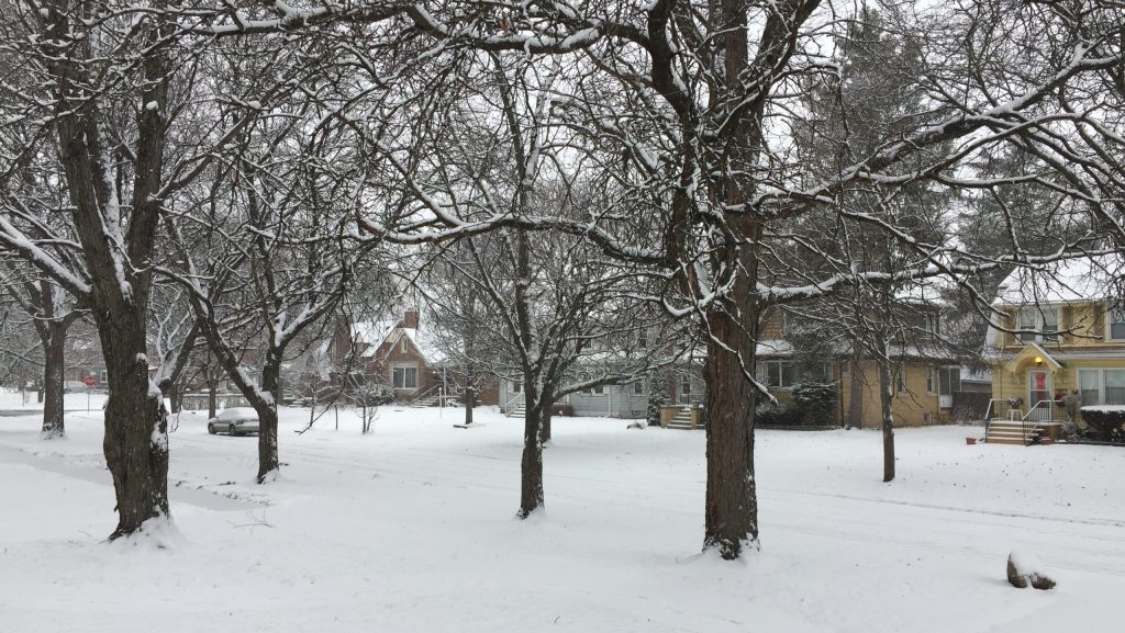
A snowy neighborhood in Detroit
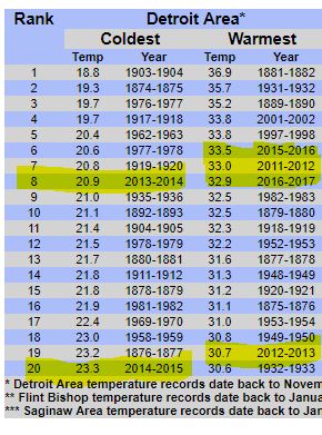
Since 2011, Metro Detroit has seen four of its warmest winters on record, and two of its coldest. Forecasters expect the average temperatures to be close to normal for the winter of 2018-19.
Alex Manion is a meteorologist for the National Weather Service in White Lake Township. He says the Pacific Ocean phenomenon known as El Nino should moderate Southeast Michigan’s weather over the next three months.
El Nino is a warming of water near the equator. As the air over the ocean warms, it rises into the jet stream, which flows east across the continental United States. The stronger the El Nino, the more it affects our weather patterns. Manion says the indications favor a weak-to-moderate El Nino affect.

“What that will do for Michigan,” he says, “there is some signal to stay slightly warmer, especially for the December period and a little bit drier than normal.”
So, what is normal?
“We see highs generally in the upper 20s to low 30s,” Manion says. “So when I say slightly above normal, we’re talking about a few degrees above that.”
The 2018-19 winter outlook suggests that January and February will be colder than normal in Metro Detroit. But what about snow? If temperatures are warmer than normal, it could mean more wet than white.
“Because with temperatures above 32 degrees, you’re likely to see either a rain/snow mix…or all rain,” Manion says.
The meteorologist cautions that it’s difficult to be certain about specific weather conditions beyond seven days. But the atmospheric trends do provide a general idea of how mild or severe the season will be.
Click on the audio player to hear the conversation with WDET’s Pat Batcheller.
Winter 2018-19 Outlook by WDET 101.9 FM on Scribd
