Citizen Scientists to Map Urban Heat Islands in Detroit This Summer
Researchers hope to show how heat affects urban areas more than rural ones.

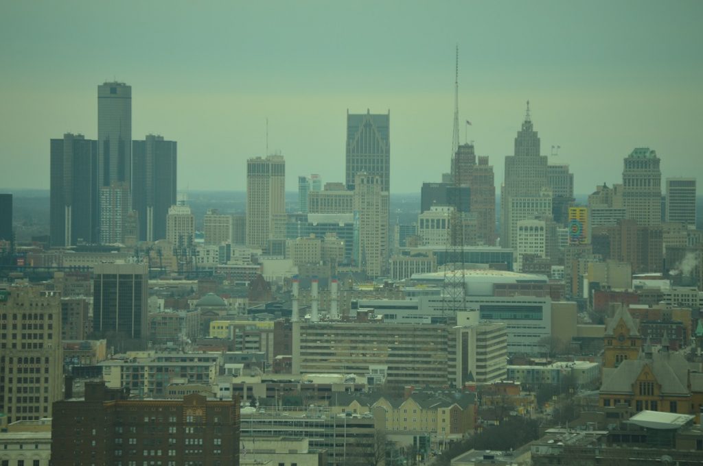
Volunteers will spread out across Detroit this summer to take the city’s temperature — literally.
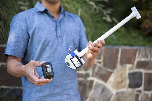
A citizen-led science project will use specially designed sensors to measure heat and humidity differences in certain parts of Detroit. The goal is to identify and map what scientists call “urban heat islands.”

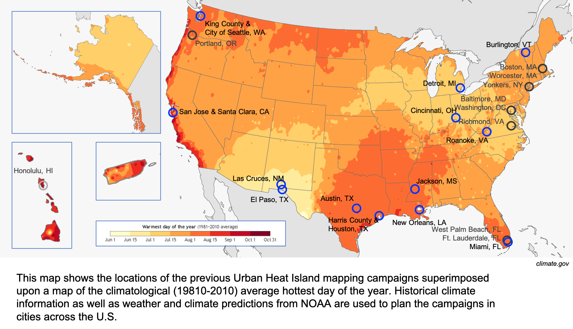
According to the National Integrated Heat Health Information System, cities tend to get much warmer than rural areas, especially during the summer. Jordan Larson is coordinating the EcoWorks Detroit heat mapping project, one of 13 taking place nationwide. He says buildings and concrete surfaces absorb and radiate more heat than areas with a lot of tree cover and vegetation.
Click on the player above to hear Jordan Larson’s conversation with WDET’s Pat Batcheller about urban heat islands.
“We can see differences in temperatures ranging up to 20 degrees Fahrenheit between urban and less urban areas,” Larson says.
By mapping heat distribution in Detroit, Larson says researchers can find out which neighborhoods are most affected by extreme heat.
“In every way that you can imagine, heat is dangerous and a real killer.” — Jordan Larson, EcoWorks Detroit.
The Centers for Disease Control and Prevention says excessive heat killed an average of 702 people per year between 2004 and 2018. Hot weather worsens health conditions such as asthma, which is a chronic problem in many Detroit neighborhoods.
Larson says volunteers will be equipped with GPS control data sensors attached to their vehicles or bicycles. EcoWorks will give them prescribed routes where they will drive or ride, recording ambient temperatures and humidity at three specific times in a single day. The target date to collect the data is August 1.

Larson says because the volunteers will use their own modes of transportation, they’ll be less exposed to COVID-19. But he says the pandemic shows why it’s important to understand how heat affects public health, especially in urban areas.
“The elderly are most vulnerable to heat waves, but are also most vulnerable to COVID-19,” Larson says. “Visiting a cooling center could be life-saving for some folks who may not pursue that option during a heat wave out of fear of COVID.”
Five Detroit recreation centers served as cooling centers during the July 2-9 heat wave, using social distancing and other measures to protect residents from exposure to the coronavirus.
Larson says once the heat maps are created, EcoWorks will share the data as widely as possible. He hopes policy makers will use the information to solve problems caused by extreme heat.
Trusted, accurate, up-to-date
WDET is here to keep you informed on essential information, news and resources related to COVID-19.
This is a stressful, insecure time for many. So it’s more important than ever for you, our listeners and readers, who are able to donate to keep supporting WDET’s mission. Please make a gift today.
